|
|
|
|
|
|
| |
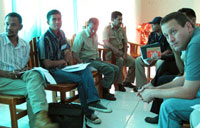
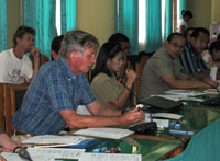
Introductory Workshop, 1st-2nd Sept
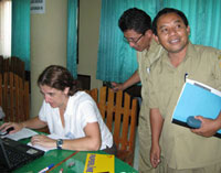
For two days, participants from CDU and the Northern Territory Government discussed the use of spatial data for improving health service provision and planning with IndonesianUniversities and governmen counterparts. By mapping information regarding the occurrence of major health issues and health service infrastructure, the health department in NTT will be better equipped to allocate resources and plan health projects. Staff from the Indonesian Health Department are very enthusiastic participants in the project as there was a general consensus that current data collection systems in Indonesia are designed only to fulfil reporting requirements and do not allow for analysis or informed planning by district health departments. The workshop fostered a greater awareness of potential applications of data collection and data visualisation technologies for addressing health issues in East Nusa Tenggara (NTT). Participants were particularly interested in the technique presented of using cheap GPS enabled PDA’s for the rapid mapping of health data. Such devices are currently being used by indigenous rangers in Arnhemland and have proved to be a high-tech but surprisingly simple solution for accurate field data collection. The target districts for the project in Flores and West Timor were asked to identify a potential case study for this pilot project. The team from Flores have chosen to map health facilities and associated resources in their region to allow visualisation of community access to health services whilst in West Timor an improved database for recording and analysing their health data to allow the visual representation of disease occurrences will be developed. The major outcomes of the Health Mapping workshop were:
Observations from Health Mapping workshop:
|
Team TTS
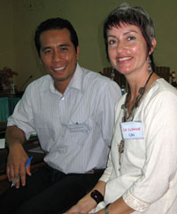
Dr Suzanne Beltin (CDU) & Pak Ansariadi (Universitas
Hasanuddin)
Johanna Karam (CDU) & Pak Onni (BAPEDDA NTT)
Steven Gutheridge (NTG)